2001 – 2006
[Manzanar] Architecture Double is born of and rooted to the concept of relocation. The work is based on mapping, tracing and recovering through photography, the buildings which originally made up Manzanar, the notorious Japanese-American internment camp in California’s Owens Valley. At the end of World War II, the federal government moved quickly to dismantle the camp, selling off hundreds of the barracks to anyone who would move them to another location. But even though the camp itself “disappeared,” the buildings live on. [Manzanar] documents the current condition and location of many buildings used at the camp, and in the process expresses how man indelibly layers the land with history, landscape and architecture. As Matthew Coolidge, director at the Center of Land Use and Interpretation, writes, “Each of the buildings is an architectural face that speaks of the assimilation of this dark side of the American story. Each is an expression of the complexities of our national condition.”
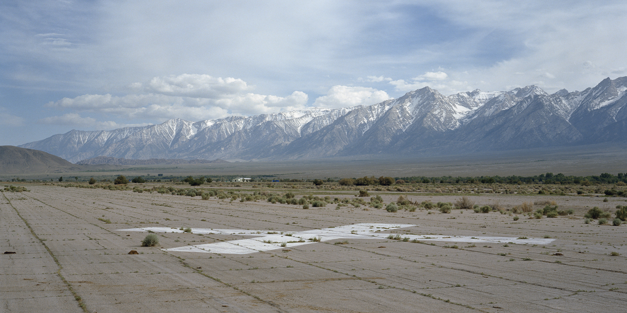
# 3.11.01 – Abandoned runway, Manzanar Airport (former WWII high-altitude test facility), looking Southwest towards Manzanar Internment Camp and the remaining building, the gymnasium/auditorium, used by the Inyo County Department of Roads and designated to be the future site of the Interpretive Center for the Manzanar Historic Site. From the X: 36°44.585’N, 118°08.763’W
# 1.4.03 – Remaining structure after salvage near Bishop Municipal Airport, Bishop, California 37°22.155’N, 118°22.162’W
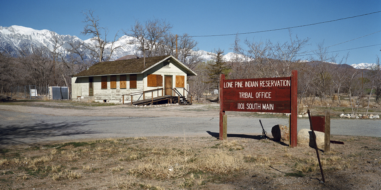
# 5.4925.7.01 – Lone Pine Indian Reservstion Tribal Office, Lone Pine, California (version 1 of 3) 36°35.710’N, 118°03.523’W
 # 11.31.02 – Mess Hall/Hospital near Bishop Municipal Airport, Bishop, California 37°22.150’N, 118°22.147’W
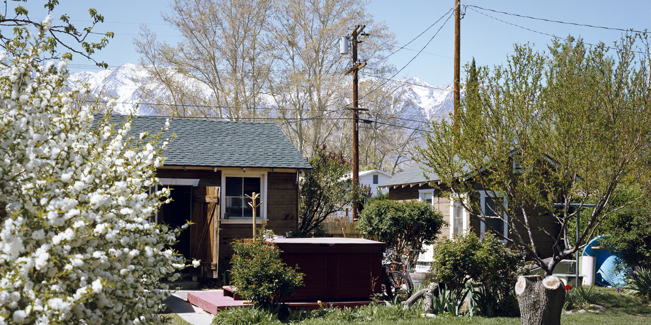 # 3.4.04 – Don Becker’s Garage and guesthouse, Independence, California 36°48.229’N, 118°11.620’W
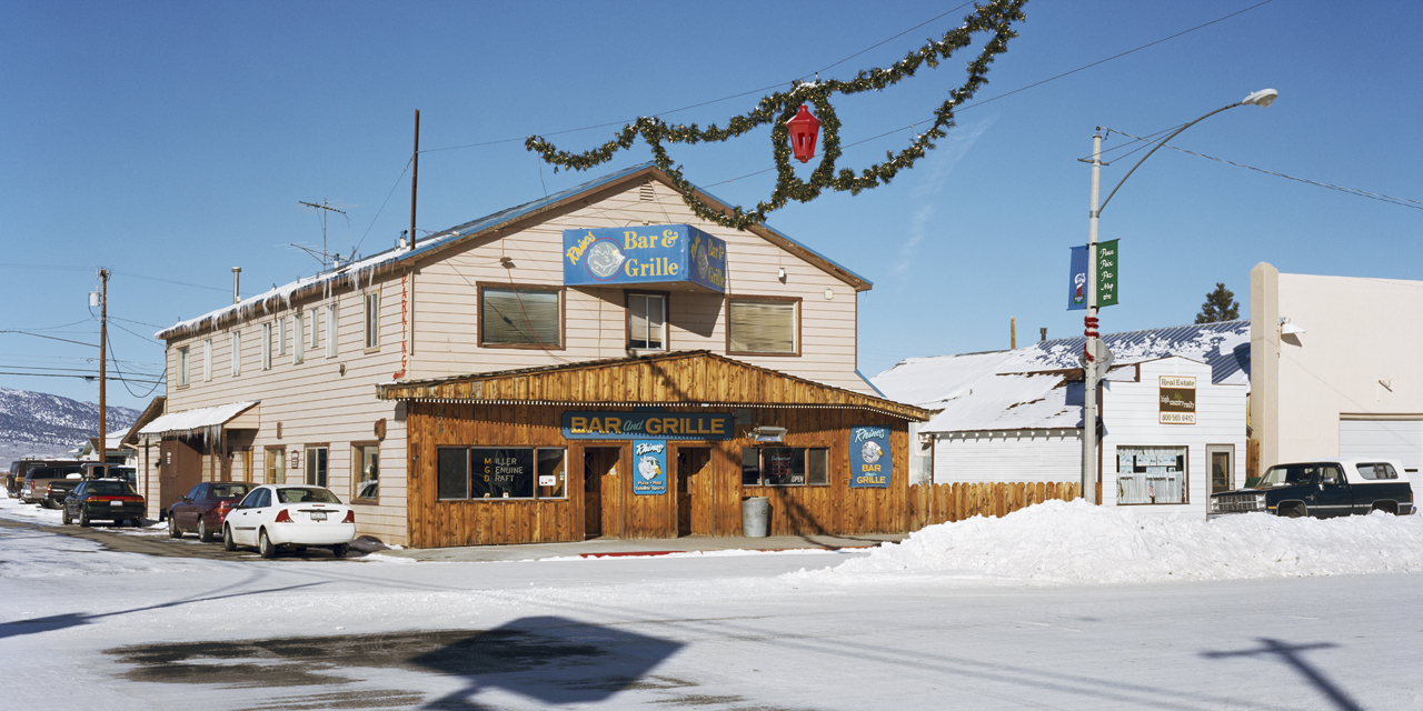 # 1.5.04 – Rhino’s Bar and Grille, Main Street at Sinclair, Bridgeport, California 38°15.365’N, 119°13.651’W
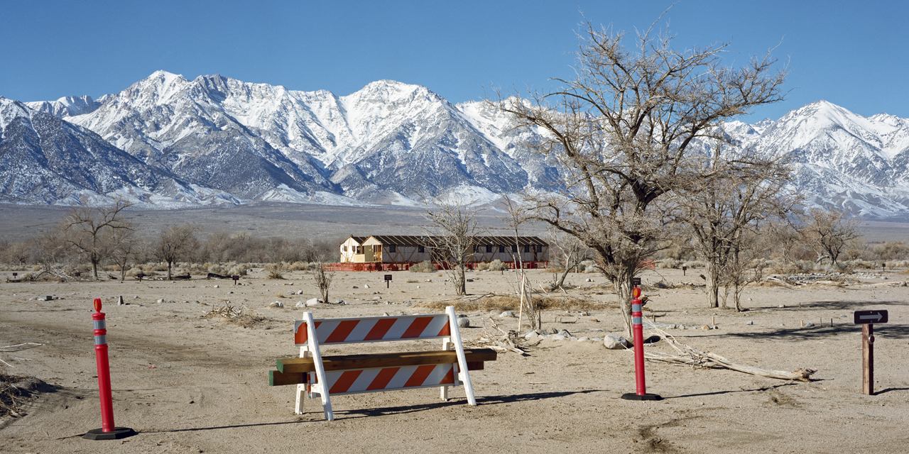 # 1.17.03 – Mess Hall/Hospital re-placed to the Manzanar Historic Site, Manzanar, California 36°43.666’N, 118°09.055’W
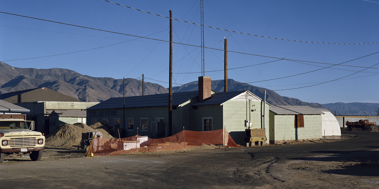 # 11.13.01 – Skip Shed and old offices Bishop Municipal Airport, Bishop, California 37°22.277’N, 118°21.982’W
 # 1.20.03 – Mess Hall/Hospital re-placed to the Manzanar Historic Site (detail view), Manzanar, California 36°43.666’N, 118°09.055’W
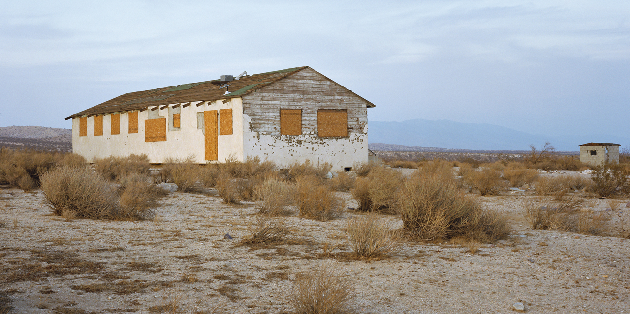 # 11.2.02 – Abandoned building near Jawbone Creek and Highway 12 (version 2 of 2) 35°17.938’N, 117°59.993’W
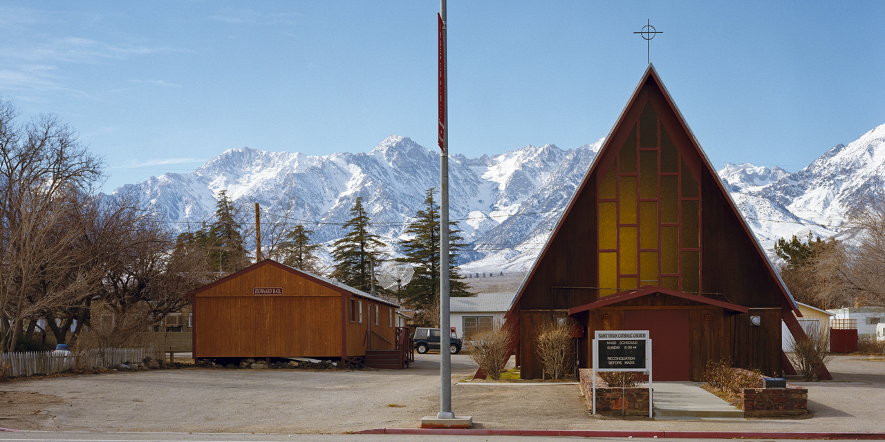 # 1.12.03 – Zegwaard Hall, Saint Vivian Catholic Church, Independence, California 36°48.227’N, 118°12.080’W
 # 12.5.03 – Pine I & II dormitories, Old Oak Ranch Conference Center, Christian Camp and Conference Center, Sonora, California 38°03.144’N, 120°18.648’W
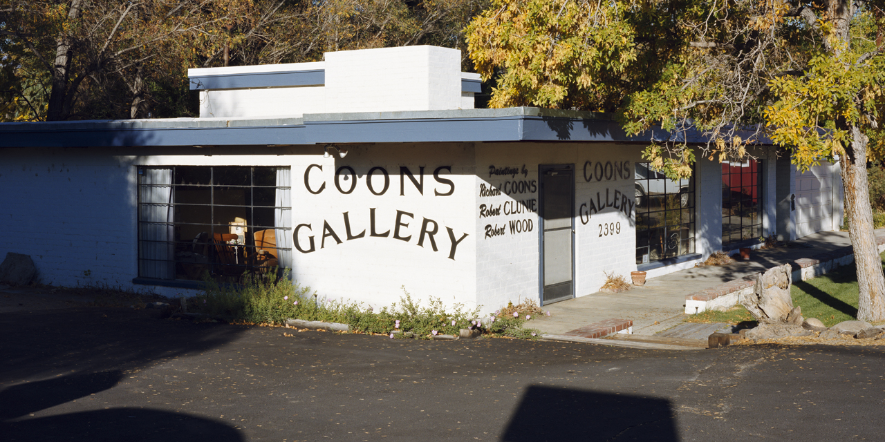 # 10.22.03 – Coons Gallery, 2399 North Main/Highway 395, Bishop, California 37°22.561’N, 118°25.091’W
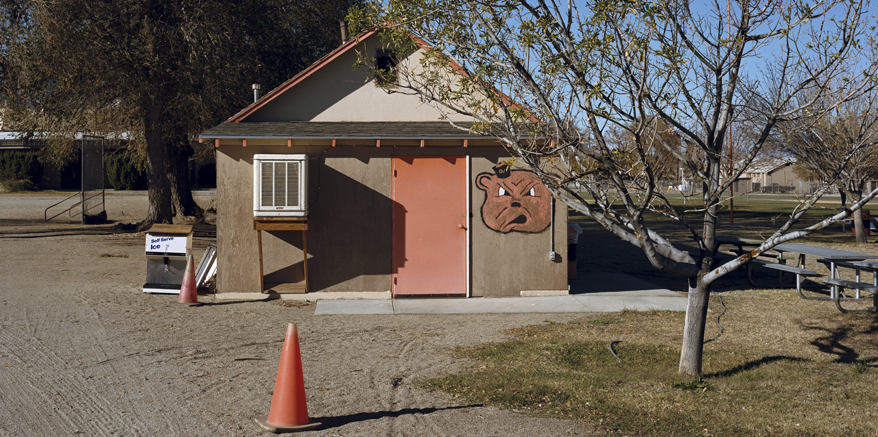 # 11.17.01 – Field maintenance building and Snack Den (home of the Cubs), Independence, California 36°48.093’N, 118°11.722’W
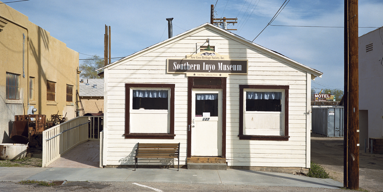 # 5.4926.25.01 – Southern Inyo Museum, 127 Bush Street, Lone Pine, California 36°36.366’N, 117°52.358’W
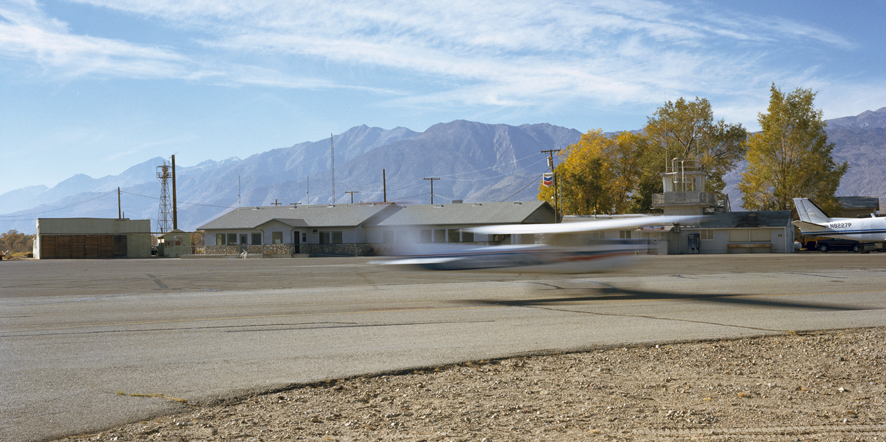 # 11.27.02 – View of the Bishop Municipal Airport, skip shed, old offices, and terminal building, Bishop, California 37°22.277’N, 118°22.982’W
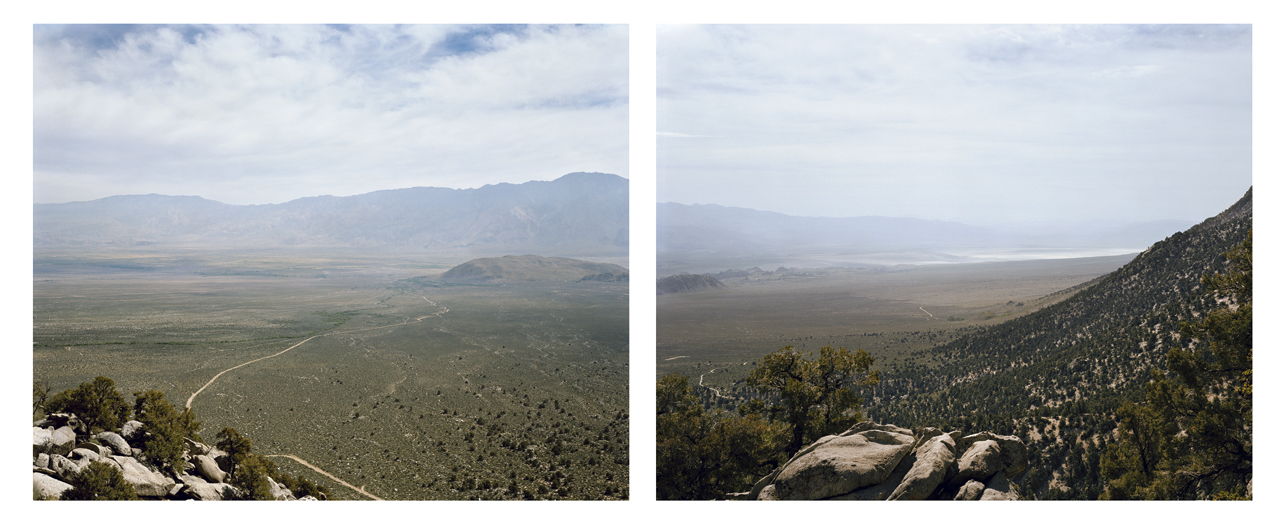
# 2.20.01 – Northeast view from Whitney Portal Road of the Manzanar Site, Alabama Hills and Hogback Road from an elevation of 7273′ N36°35.759′, W118°12.780′ (left image)
# 3.22.01 – Southeast view from Whitney Portal Road of the Alabama Hills and Owens Lake (dry) from and elevation of 7273′ N36°35.759, W118°12.780′ (right image)
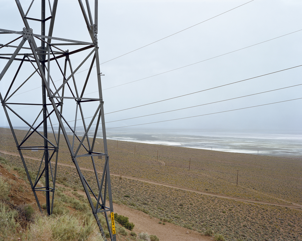
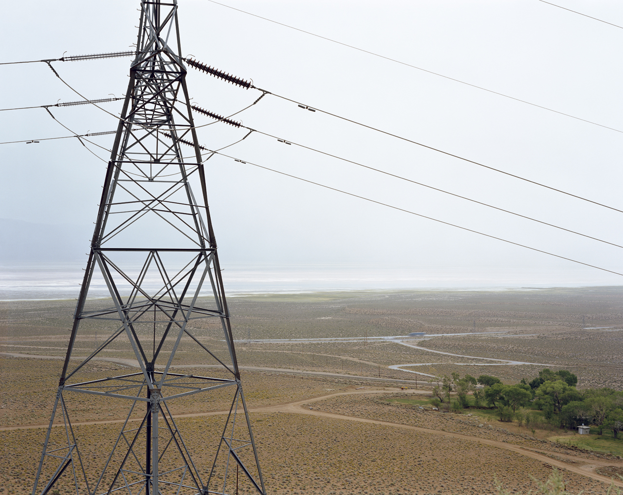
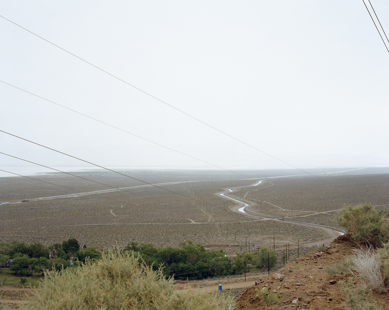
# 3.4.01, # 3.3.01, # 3.2.01, # 3.1.01 – Looking east near Cottonwood Powerhouse Road at the Pacific Interie, Los Angeles Aqueduct, Owens Valley (dry) & Highway 395 from an elevation of 4030′ 36°26.758’N, 118°02.742’W
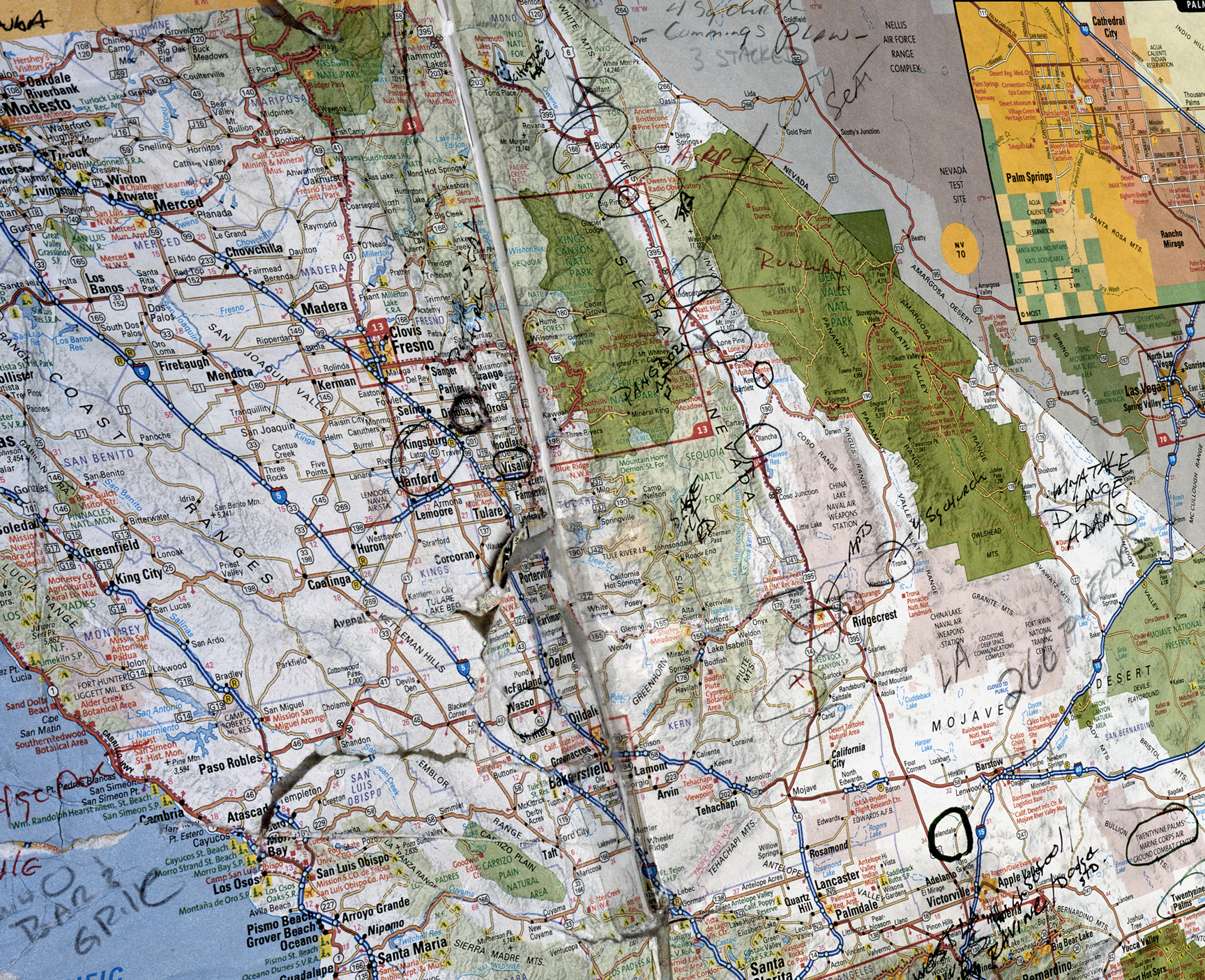
# 8.23.06 – National Geographic Road Atlas with reference notes about dispersal (a map with improvements), cultural view°
